
No Groups Available
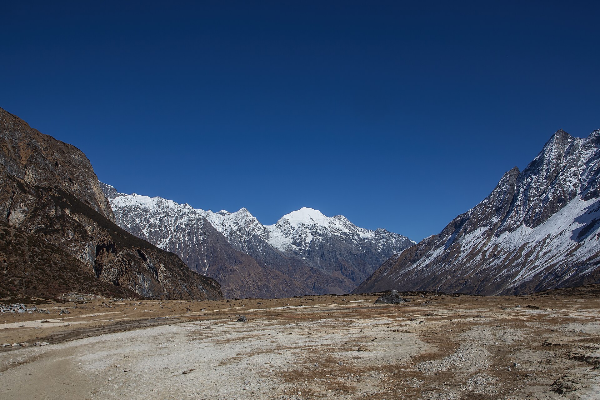
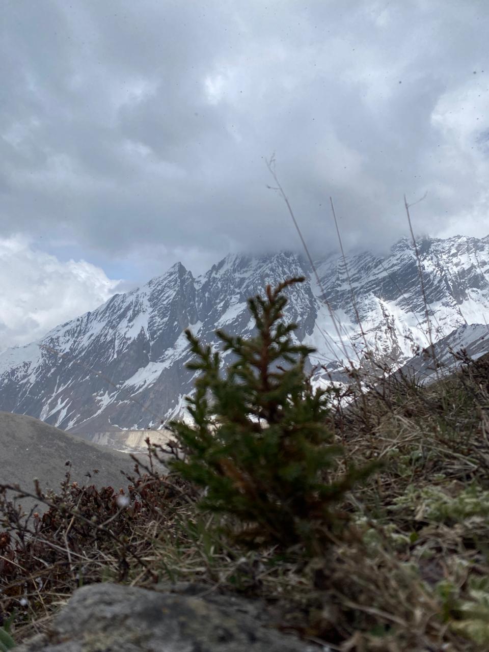
The Manaslu Circuit Trek is a remarkable Himalayan journey through the Manaslu Conservation Area, circling the world’s eighth-highest mountain, Mount Manaslu (8,163 m). Covering approximately 177 kilometers, the trek begins in the subtropical valleys of the Budhi Gandaki River and ascends to the challenging Larke Pass (5,106 m), the highest point of the route. Trekkers are rewarded with stunning views of Manaslu, Himalchuli, Ngadi Chuli, Ganesh Himal, and surrounding snow-capped peaks. Major attractions include Machha Khola, Namrung, Samagaon, Birendra Lake, Manaslu Base Camp, Samdo, and the dramatic crossing of Larke Pass.
The trek offers a rich cultural experience among Gurung and Tibetan-influenced communities, where Buddhism is deeply rooted in daily life, reflected in ancient monasteries, chortens, mani walls, and prayer flags. Vegetation varies from dense forests of rhododendron, pine, and oak to alpine meadows and rugged high-altitude terrain. Local people depend on farming, trade, tourism, and yaks, which are vital for transporting goods across mountain trails. The conservation area is also home to diverse wildlife, including the snow leopard, Himalayan tahr, blue sheep, musk deer, and Himalayan monal. Combining spectacular mountain scenery, rich cultural heritage, and diverse ecosystems, the Manaslu Circuit Trek is one of Nepal’s most rewarding trekking adventures.
Tap a day to expand the details.
In the very first day of manaslu journey, there is nine to ten hours drive through the george of trishuli river. just 30 minutes of drive cross the city and natural beauty and the different several villages and town is welcoming with waving hands and smiley faces of locals. lots of temple and holi sites is passing through out journey where we can enjoy from our snakey trail drive with cheeling climate.
This is the day that we start hiking towards the manaslu journey, this day we are passing different villages of korlabesi, Dhoban,yoruphat and reach to jagat respectively, this day hiking our is 6-7hrs where beutiful sub-tropical flora and fauna is all the way in journey. Stay overnight at teahouse.
After village of Jagat we cross the Budi Gandaki on a large suspension bridge and climb steeply to Philim. The trail traverses the hillside and passes Ekle Bhatti (lonely teahouse) before crossing back over the river below the confluence of Budi Gandaki and Siyar Khola. From here we enter a dramatic section of the gorge high above the river. The trail makes its way up the west side of the valley and offers a pleasant walk through bamboo forests to the village of Deng. Stay overnight at teahouse.
Today is a shorter day as we enter the area influenced by Buddhism. After a few more ups and downs through forests, the trail turns a corner and arrives at Namrung through well-preserved paintings and elegant mani wall. Stay overnight at teahouse.
From Lho, we follow the right bank of the river with views of Peak 29 ahead. A couple of hours climbing through the forest bring us to the village of Shyala, offering superb views of Phungi, Manaslu and Him Chuli. Crossing a wide pasture with many marmots we enter the village of Samagaon. Our camp is at the top end of the village below the impressive Sama Gompa with impressive views of Manaslu. Stay overnight at teahouse.
The nearby monastery is well worth a visit, as is the village of Samagaun. This is a great day exploring the areas and with a great views. Stay overnight at teahouse.
Follow the Budi Gandaki northwards to a bridge over a side stream where the trail forks; the left leading towards the Manaslu Base Camp, the other passing several mani walls heads for the Larkya La. The valley widens along an easy trail past juniper and birch forest to the stone huts at Kermo Kharka, and then drops off a shelf to cross a wooden bridge and climbing between forks in the river to a promontory. From this vantage point, one can see the white stone kani marking the entrance to Samdo. Stay overnight at teahouse.
Today we start the ascent to the pass by descending through fields to an old mani wall and stone arch before dropping to the river and crossing on a wooden bridge. This place shows up on maps as the mythical Larka Bazaar, which used to be a flourishing market, but there is nothing remaining there now. Another mani wall marks the beginning of ascent to the pass where the trail starts climbing through tundra and juniper; the huge Larkya Glacier coming from Manaslu can be seen from here. Stay on the ridge to the right to find a trail that crosses over the top of two ravines. The trail grows steeper, climbing up the side of a gorge to a viewpoint at the edge of a huge gorge at 4000m. Nearing the larkya la glacier we reach to dharmasalD, where there is a small lodge, built to serve travellers crossing the Larkya La, which lies now just ahead. Stay overnight at teahouse.
After an early start, we soon reach the ablation valley on the left side of the Larkya Glacier with impressive views of Cho Danda and Larkya Peak. We continue walking along glacial moraine and start making the gradual ascent to the summit of the Larkya pass. From the top, there is a panorama view of Himlung Himal, Cheo Himal, Kang Guru and Annapurna II. On the descent the trail follows the top of the moraine to the west and makes a set of steep, rough switchbacks as it crosses the moraine then descends more gently on snow to a grassy moraine. Depending on the conditions if icy then crampons and ice axe are advisable for the descent. The trail now becomes easier to follow and reaches a small meadow and spring at 4,080m/13382ft. The valley becomes wider as the trails heads down to a large meadow, past a mani wall and a small rest house that marks Bimthang. Stay overnight at teahouse
After crossing the pastures of Bimthang the trail drops to a glacial stream at the headwaters of the Dudh Khola, crosses a wooden bridge and descends into pine and rhododendron forest. Not far from here you reach Karche's fenced fields, then cross a landslide before making a steep climb to a ridge decorated with prayer flags before making a descent to the riverbank at Gho. The trail continues through fields and intermittent stands of rhododendron and oak to arrive attilje and reach to Dharapani, a large Gurung village. Stay overnight at teahouse.
This day we take a early bus ride 7-8 hours drive toward kathmandu. you will be leaving at hotel with happy ending and hoping to meet you in next visit of Nepal.
A short excursion nearby to aid acclimatization, followed by an easy afternoon at altitude.
1 review
Log in to share your experience of this trek.
Ravi Menon
Remote and demanding in the best way. Restricted-area paperwork was completely painless.